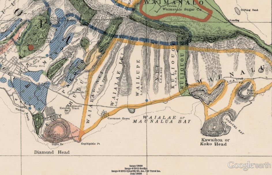
1902. East-side, O'ahu, Territory of Hawaii. Within the first decade after the overthrow of the Hawaiian Monarchy, this map
was created of eastern O'ahu. Note that many of the Hawaiian names in use at the time are listed: For example, Kawaihoa
for Koko Head. All 3 fishponds in the area are depicted: Wailupe, Niu, and Kuapa. Waimanalo is dominated by the Waimanalo Sugar
Company. Waialae has a prominent feature of a coconut grove. Possibly the most surprising feature are the blue colored taro lo'i
that are found from Manoa Valley to Waikiki, and also in Palolo and Pauoa. This of course would all change in twenty years when
the Waikiki Reclamation Project would drain and fill all of the wetlands while they created the "Ala Wai" drainage canal. My father
told me many stories about those times. --Harry B. Soria via Facebook.
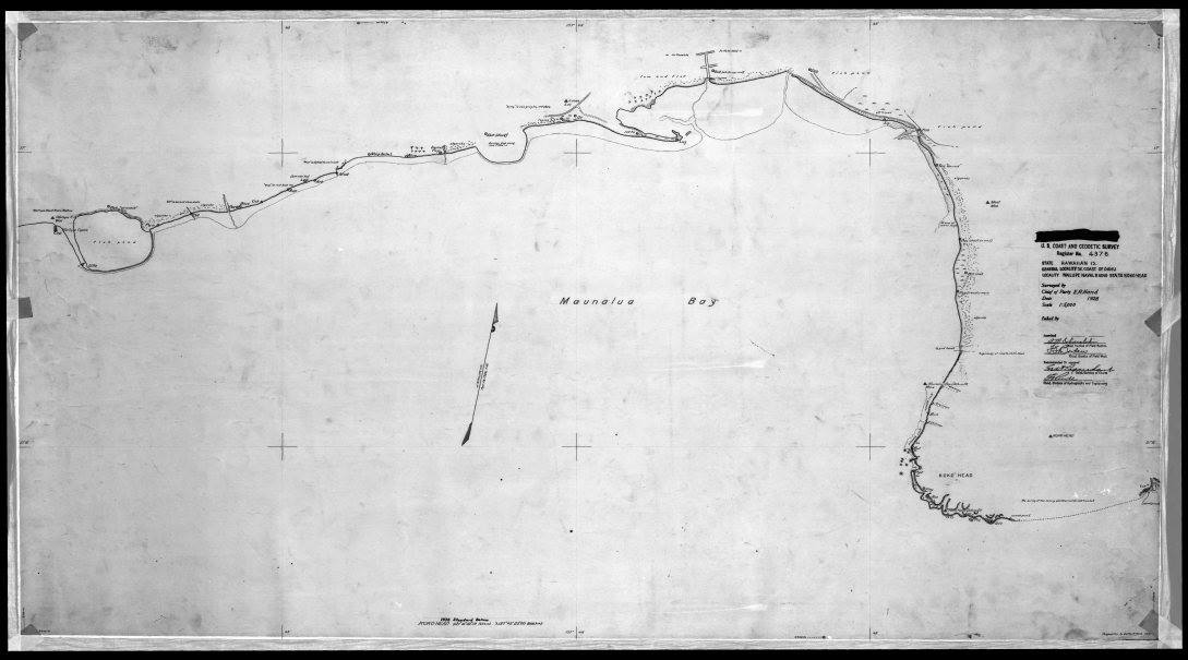
East side map, 1928.
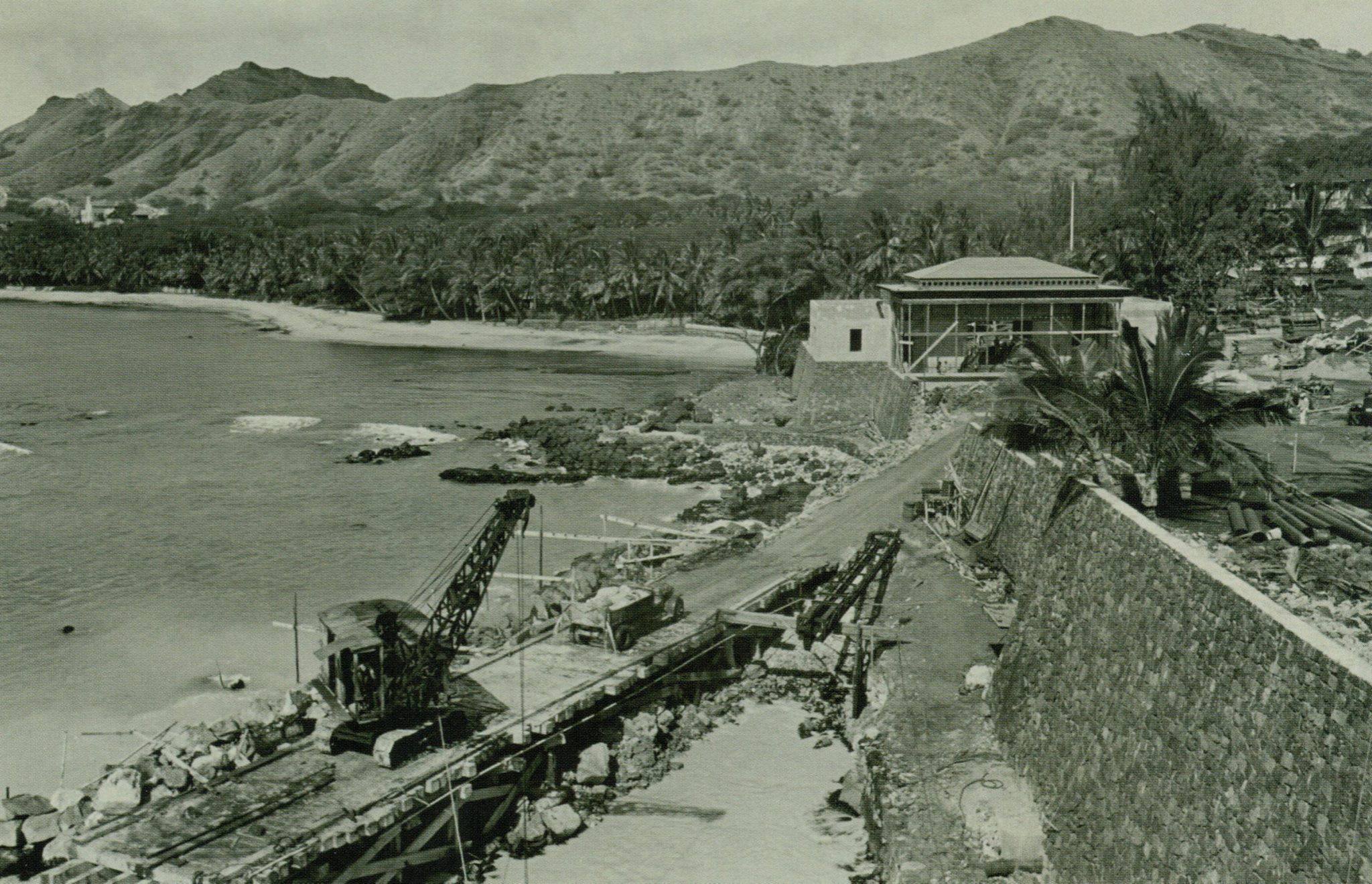
Doris Duke's Shangri La under construction, 1937. Photo courtesy of Harry B. Soria via Facebook.
Click the image to see the full resolution version.
 Email Richard dot J dot Wagner at gmail dot com